
This hike has been on my ever-growing to-do list, since I ever started one. I have applied, gotten approved and cancelled a permit a couple of times due to various reasons before finally being able to complete it and then repeated. Because it's such a beautiful hike, I'd still do it all over again! The first trip was my doing and the second was an invite, and on both occasions doing the same direction and same length of days.

The itinerary posted below will feature the more popular clockwise route.
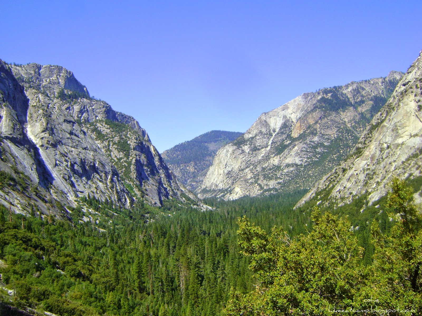
Even though the trail is described as a loop, it is more of a "lollipop" kind of route. It still starts and ends at the same point, but the full circle meets with another 2 more miles to the trail head.
This hike can be done in lengths dependent on your preference of what you'd like out of the trip. I've heard of hikers doing this loop in 24 hours, some have done as an overnight. But for a more leisurely pace, 5 days is just about right and 7 days is luxurious. We had more than enough days to soak in everything with both our 7 day trips.
I'll be posting a chart below to summarize our daily mileage and elevation loss and gains with information to help plans yours!
Permit

I mail. I love old school mail and I love stamps!
Here's a link for a copy of the permit: Wilderness Permit Application. Please read the instructions carefully and make sure to fill out your other choices of entry dates (or places, if you prefer), in case the first doesn't pan out.
Weather
Here's a link to NOAA's website, pinpointed on the area at the start of the loop trail. Pan the map on the right hand side to get an updated weather report on a specific area of the loop.
Food Storage
Bear canisters are required in this area. Bring them if you already own one or rent one from several places, like your local REI store, Bearikade rents their product through their website, or you can also rent one from the Road's End permit station.
On hindsight, I should have rented one from the permit station and left my Garcia. From observation, I think the permit station rents out the ever so light Bearikade!
Although there are available bear/food lockers located by the popular places camp sites to use, these lockers should not always be relied upon. They can get filled up fast for several reasons, and especially on areas with high foot traffic and along the trail where thru-hikers pass.

Getting there
Kings Canyon National Park is in central California. The entrance can be accessed via the CA SR-180 in Fresno, CA. If you do not have a National Parks Annual (or Senior) Pass, the entrance fee to the park is $20 for one vehicle (all passengers included) or $5 per person on foot/bike, and it's valid for 7 days.
Head on straight past the entrance and take the left fork on the road when you get to the "Y". Drive straight along the 180/General's Highway and enjoy the 45 minute scenic drive to Roads End.
There are several camp grounds along the route if you'd like to arrive a day or 2 before your jump off day to acclimate especially if you're coming from sea level (like us!). And some camp grounds have coin operated shower facilities (get those quarters ready!) for those who'd like to have a last shower before giving up indoor plumbing for a few days.
Our itinerary


| POINT/ LOCATION | ELEVATION [IN FEET] | MILES FROM ROADS END | ELEV FROM LAST POINT | MILEAGE FROM LAST POINT | NOTES |
|---|---|---|---|---|---|
| TH - Road's End | 5,035 | 0.0 | |||
| Paradise/ Bubbs Creek Junction | 5,035 | 2.0 | |||
| Mist Falls | 5,663 | 4.0 | No camping | ||
| Lower Paradise Valley | 6,600 | 6.0 | Standard bear box | ||
| Middle Paradise Valley | 6,631 | 8.0 | 1,596 | 8.0 | Standard bear box |
| Upper Paradise Valley | 6,916 | 11.0 | Large + Standard bear box | ||
| Castle Dome Meadow | 8,173 | ||||
| Woods Creek Crossing | 8,500 | 17.0 | 1,584 | 9.0 | Standard bear box |
| Dollar Lake/ Arrowhead Lake | 10,300 | 22.0 | Standard bear box @ Arrowhead | ||
| Lower Rae Lake | 10,538 | ||||
| Rae Lakes | 10,596 | 25.0 | 2,096 | 8.0 | Large + Standard bear box |
| Glen Pass | 11,978 | 27.5 | |||
| Charlotte Lake Junction | 10,619 | 30.0 | |||
| Vidette Meadow | 9,629 | 32.0 | Standard bear box | ||
| Lower Vidette Meadow | 9,482 | ||||
| Junction Meadow | 8,156 | 35.0 | Standard bear box | ||
| Charlotte Creek | 7,260 | 38.5 | -4,718 | 13.5 | Standard bear box |
| Sphinx Creek Junction | 6,316 | 42.0 | Standard bear box | ||
| Paradise/ Bubbs Creek Junction | 5,035 | 44.0 | |||
| TH - Road's End | 5,035 | 46.0 | -2,225 | 7.5 |

Great Itinerary and posting, I think going to plan the same, we are making the plans for the Rea's lake loop this summer. This is one of the few NP we haven't been in and this look like a great hike. If we do not get the permit we may do like we did last year in Zion, and that is be at the park office and hour early and get the permit that morning. Any advise on the hike for my planning.
ReplyDeleteThanks
Randy Bethlehem Pa