
The High Sierra Trail traverses the Great Western Divide from West to East. Officially, the trail starts from the front country of Sequoia National Park at Crescent Meadow and ends at the summit of Mount Whitney, about some odd 60 miles. Officially. Then connect the trail to the Whitney Trail and add about 11 miles to exit on the east, at Whitney Portal. Making this trip a total of 71 miles (we logged in about 74.3 miles).

I don't remember the exact moment that the High Sierra Trail came across my radar. It was some-some years ago stumbling on a colored picture in the intarwebs of this beautifully multi colored lake. The photo was not labeled but thank you, Google Image! It was the esteemed Precipice Lake. Ironically, made famous by a black and white photograph by Ansel Adams, (Frozen Lake and Cliffs, The Sierra Nevada, Sequoia National Park, California 1932).
High Sierra Trail, why do it?
Want to summit Mount Whitney but the permit lottery system just doesn't appeal to you?
Permit lottery system stresses me out, haha. Probably why this hiker still has not gone to Half Dome. I know, I know.. it is an iconic hiking thing. I like hiking for its simplicity. And the lottery system is not. But I guess it is a necessary evil to control the wilderness traffic in certain areas.
The HST provides an entry (there are lots!) to access to the Whitney Zone without going through the Whitney lottery.
You've ogled at photos, seen Mile.. Mile And A Half repeatedly, squinted at blogs.. but taking 3 weeks to take on a John Muir Trail thru-hike is just not feasible anytime soon?

If you have a regular day job (like me!), taking 3 weeks off is not easy (plus add more days for logistics, pick up, drop off, acclimating, etc.). There are lots to consider before embarking on such time away from work, including paid time offs. I've read somewhere once; "The time you don't work during your trip is the most expensive part of the trip". Plus that's time away from family. Unless, they're your JMT hike buddies!
Depending on how you want to stretch your own HST trip, this can be done in 8 days, 7 nights. If you have a Monday-Friday work schedule, here's a quick itinerary fix:Take Saturday to acclimate, Sunday as jump off day and the following Sunday to end a trip. This way you technically loose just 5 days of work.
Or maybe because it is just there. Calling you. Beckoning you.
Maybe you're just looking for an epic trip. Then.. ta-dah! This is it! Lakes, hot springs, meadows, peaks.. you can't go wrong on this trip!
Permit Application

The HST officially (and popularly) starts at Crescent Meadow (High Sierra on the drop down menu on the permit application) located in the Giant Forest area of Sequoia National Park.
But an alternative starting point, if your dates are not flexible, is at the Alta Trailhead in the Wolverton Area. Excellent opportunity to do a side trip on the Lakes Trail or Alta Peak before meeting up with the High Sierra Trail.
Starting at either point does not differ much in terms of elevation or mileage, nor your permit pick up. Both starting points' permit pick up is at the Lodgepole Visitor Center. The Wilderness desk there opens at 7:00 a.m. till 3:30 p.m. Permits can be picked up the day before your entry date at 1:00 p.m. or the same day before 9:00 a.m. Make sure to let the wilderness office know if you're picking up after 9:00 a.m. of your entry date, or else it is tagged as a "no-show" and will be available for walk-ins.
Select Whitney Portal for the exit trail (unless you're doing this as an out-and-back.. hmm next trip, maybe?!) and you'll be good to go and summit Mount Whitney on this trip. No extra permit application for the summit.
Fill up the permit from the NPS website, follow the instructions and mail or fax it along with your check or credit/debit card payment of $15.00 for the permit (number of days and persons included in fee). Your confirmation will be sent via email. Yes, it's email now. I was constantly checking our mailbox waiting for that lovely envelope from NPS only to find out that my inbox has been babysitting it and probably snickering at me, too!
Weather
Prepare for any weather changes. Check the weather even up to the last minute of your trip, before you leave your home, before you lose that last cell phone signal, and ask the wilderness desk when you pick up your permit.
Generally, best time to visit is in the Summer months. However, on some good snow years, high elevations would still have snow as late as July. We went during one of California's drought year, first week of August 2014. We didn't see any patches of snow, but we got rain and hail.
Here's a link via NOAA's website for the weather in the Moro Rock and Crescent Meadow area: HST Weather.
Food Storage

If you do not own one (yet!), bear canisters can be rented at the Lodgepole Visitor Center, your local REI or Bearikade rents their product on their website.
Getting There and Logistics

Park dues are $20.00 per (private) vehicle, all passengers included and it is valid for 7 days upon your entrance. Annual Sequoia and Kings Canyon Park fees are at $30.00. or if you are a National Park junkie (like us!), America the Beautiful Pass is $80.00 valid for a year in all National Parks. Still cheaper than a Disneyland Pass!
The tricky part of a thru-hike is the logistics, since you will be starting from one end and finishing in another. Coordinating skills, trust in soliciting free rides or big $$$ to rent shuttles play in part here.
We opted for soliciting free rides. We were dropped off at our starting point with bribes of a good time, camp fires and a 5 billion star stay. Yeah, thank goodness he was family enough to accept such bribes! And we coordinated a pick up at the end with bribes of love and affection. Yup, family, too!
During the Summer peak season, the road to Moro Rock/Crescent Meadow is closed to private vehicles, only accessible by the park's free shuttle that stops at the Giant Forest Museum.
Our Itinerary
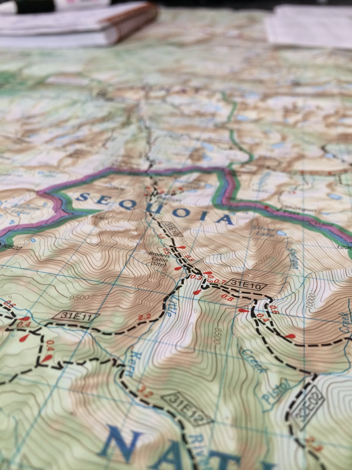
** For reference on the photos on the state of the trail: Our trip was on August 3-10, 2014.


HST Day 6 - Wallace Creek to Guitar Lake


| POINT/ LOCATION | ELEV OF LOC [IN FEET] | DISTANCE FROM LAST POINT | ELEV DIFF FROM EACH POINT | CAMP | MILE BET CAMPS | ELVATION DIFFERENCE FROM EACH LOCATION | NOTES |
|---|---|---|---|---|---|---|---|
| WOLVERTON/ ALTA TH | 7,360 | 0.0 | 0 | ||||
| PEAR LAKE JUNCTION | 8,070 | 1.6 | 710 | ||||
| PANTHER GAP | 8,520 | 0.9 | 450 | ||||
| ALTA PEAK JUNCTION | 8,940 | 0.9 | 420 | BEAR BOX | |||
| MEHRTEN CREEK/ MEET HST | 7,690 | 2.0 | -1,250 | BEAR BOX | |||
| NINE MILE CREEK | - | 2.1 | 2.1 | BEAR BOX | |||
| BUCK CREEK CROSSING | 7,260 | 3.5 | -430 | X | 11.0 | -100 | BEAR BOX |
| BEARPAW MEADOW | 7,820 | 1.0 | 560 | BEAR BOX | |||
| ELIZABETH PASS JUNCTION | 7,400 | 1.5 | -420 | ||||
| BIG HAMILTON LAKE | 8,240 | 3.5 | 840 | X | 6.0 | 980 | BEAR BOX |
| PRECIPICE LAKE | 10,200 | 3.3 | 1,960 | ||||
| BIG ARROYO JUNCTION | 9,560 | 3.2 | -640 | X | 6.5 | 1,320 | BEAR BOX |
| MORAINE LAKE** side trip | 9,300 | 8.0 | -260 | BEAR BOX | |||
| UPPER FUNSTON MEADOW | 7,300 | 4.0 | -2,000 | BEAR BOX | |||
| KERN HOT SPRING | 6,880 | 2.3 | -420 | X | 14.3 | -420 | BEAR BOX |
| JUNCTION MEADOW | 8,080 | 8.0 | 1,200 | BEAR BOX | |||
| WALLACE CREEK JUNCTION | 10,405 | 4.1 | 2,325 | X | 12.1 | 3,525 | BEAR BOX |
| CRABTREE RANGER STATION | 10,700 | 4.2 | 295 | BEAR BOX | |||
| GUITAR LAKE | 11,460 | 3.5 | 760 | X | 7.7 | 3,380 | TIP: LEAVE AT 5 AM |
| MT. WHITNEY JUNCTION | 13,450 | 2.5 | 1,990 | 1,990 | SUMMIT DAY! | ||
| MOUNT WHITNEY SUMMIT | 14,505 | 2.0 | 1,055 | 1,055 | |||
| MOUNT WHITNEY JUNCTION (DESCEND) | 13,450 | 2.0 | -1,055 | -1,055 | |||
| TRAIL CAMP | 12,040 | 2.2 | -1,410 | X | 10.7 | ||
| OUTPOST CAMP | 10,600 | 2.5 | -1,440 | ||||
| LONE PINE LAKE | 9,990 | 1.0 | -610 | ||||
| WHITNEY PORTAL | 8,340 | 2.5 | -1,650 | END! | 6.0 | -1,650 | END! |


